Today, I will pass on my knowledge to help you plan a route on the road. The most important elements in successfully planning a route are: following the rules of the road, making connections with local resources, and knowing your limits as well as your needs.
Local Resources
The first step to planning a local route is to acquire public resources. It is very likely that you aren’t the first person to want to ride a bike in the area. If that’s the case, then it’s safe to assume that others have already done a lot of the ‘wheelwork’ (get it?) and there should be plenty of access to information online or in a physical space.
Most areas with any kind of infrastructure for cycling will have a public resource for bike access. This could look like anything from a downloadable PDF map of bike-able roads throughout an entire county or an interactive online map service for locating multi-use trails or a pamphlet guide at a local sporting goods shop. No matter the difference in presentation, it’s a start!
Simply use your favorite search engine to search with key phrases like “(insert area name) bike access maps”, “(insert area name) bike paths or trails map”, “bike commuting in (insert area name)”. Using words like “access”, “paths”, and “commuting” will make it easier to find the safest routes available.
Not every area has these kinds of resources or even the infrastructure for designated cycling lanes/paths. That does not mean you should throw your dreams out of the window. There are still other ways to find your way.
Bike Shops
If you have access, it can be super beneficial to visit your local bike shop and ask them about what they would recommend since they are truly local experts. They can also connect you with more of the community if you are interested in the clubs, group rides, and events.
If you can’t go physically, there is still hope yet! Most shops have some sort of social media presence and I have found that people love to share where they are riding on these pages. Check for a website, Facebook Page, Twitter, or Instagram. Take note of the places they are raving about: Mount Lemmon, Atlanta Beltline, Jordan River Trail, Going-To-The-Sun Road, American River Bike Trail, Mount Tamalpais, Santa Monica Boardwalk, and so many more possibilities.
Group Rides & Events
You can also search for local group rides and events. Not that you have to attend them to do the ride, but you can get an idea of what’s popular based on where sanctioned events are held. If there is any kind of recurring event on a road, it is more likely that the locals won’t be surprised to see you cycling on it and they will respect your space. Also, there may even be some kind of GPS file you can access from past events on their websites that will give you every detail of the route. If you are comfortable, participating in these group events can be a great learning experience. Not only will you learn about the routes, but you will make connections and learn so much more about bikes! Make the experience what you want it to be.
Even if you don’t gather all of the details about every single part of the route and what roads to take after exhausting these resources, you may still learn about some really cool destinations and you’ll only have to figure how to get from your location to that cool place.
Apps Galore
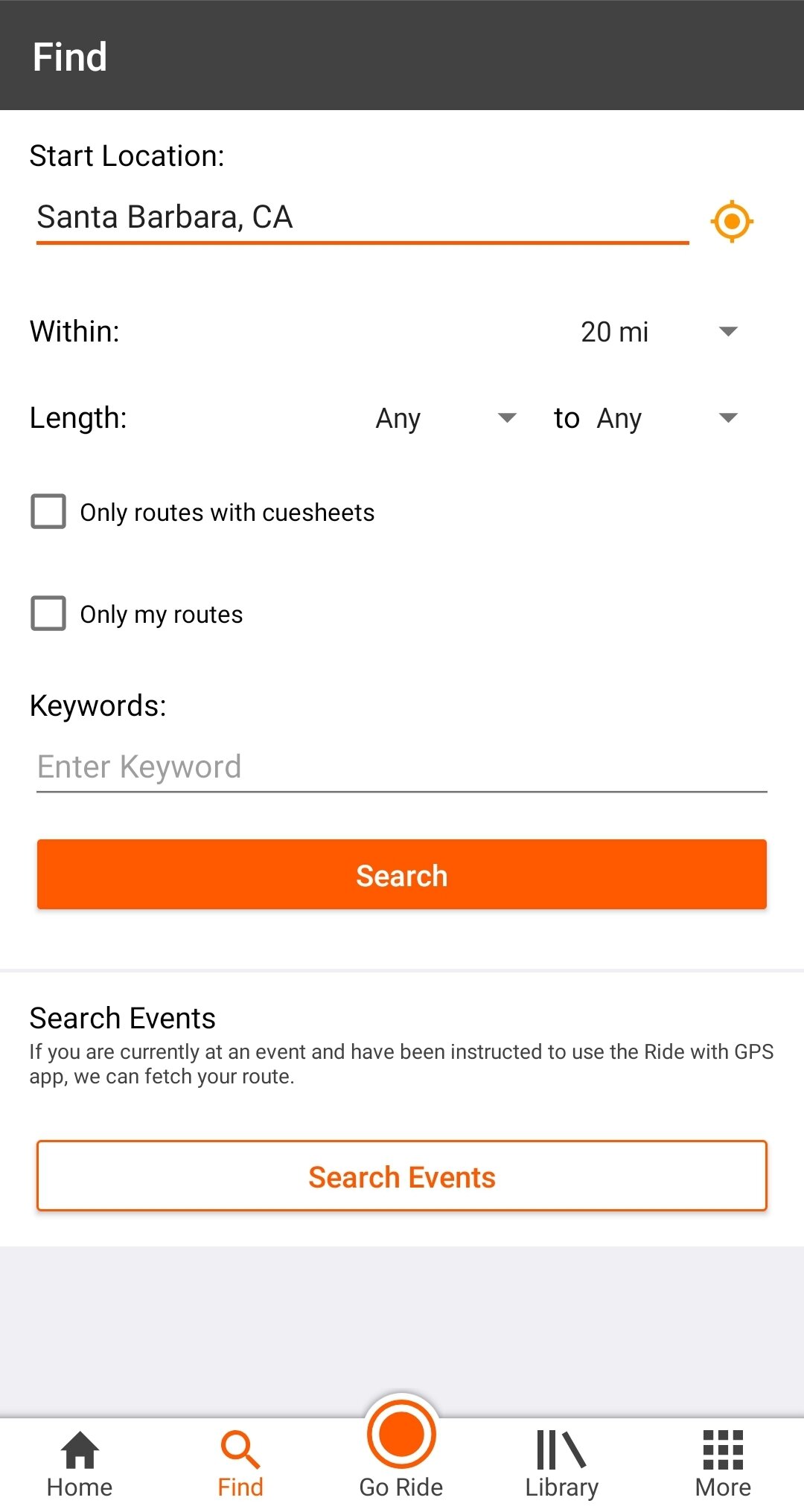
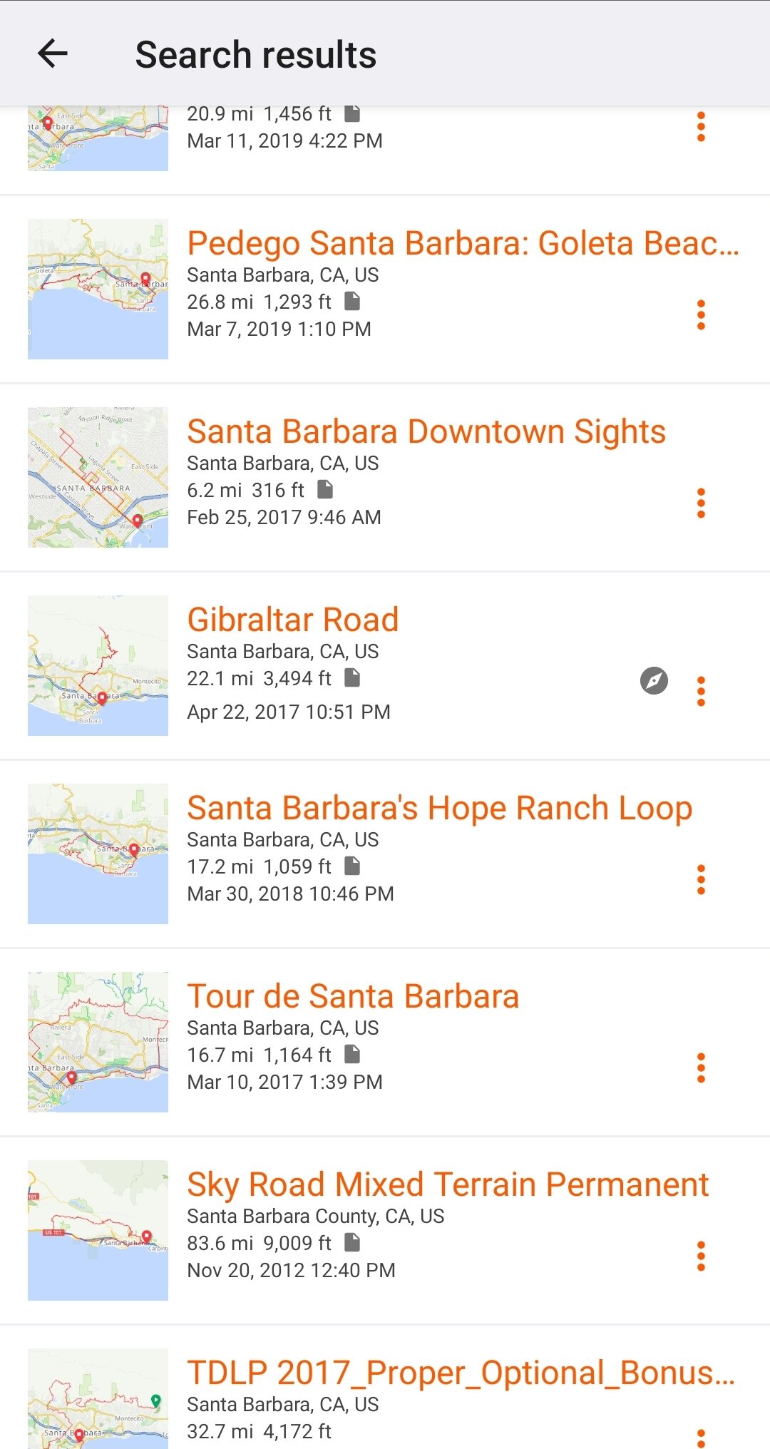
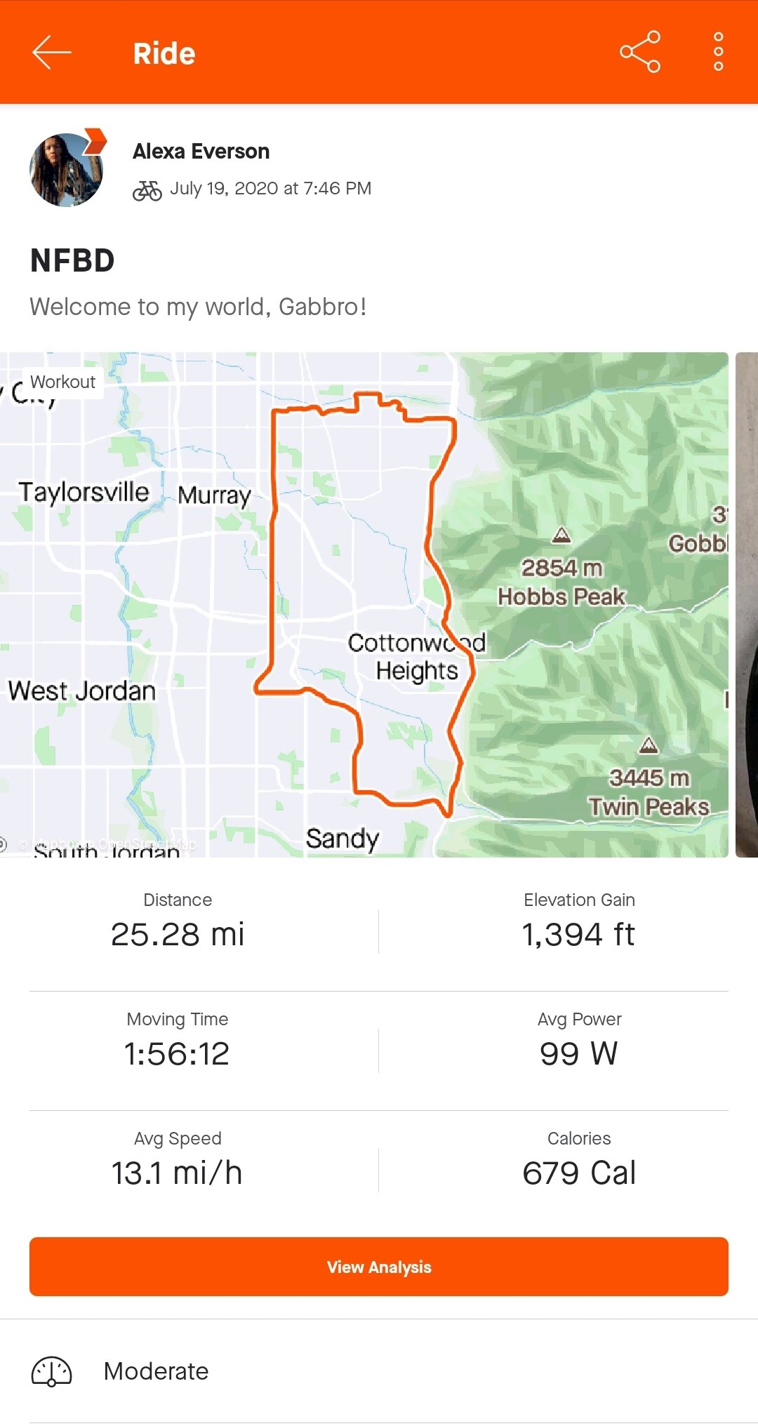
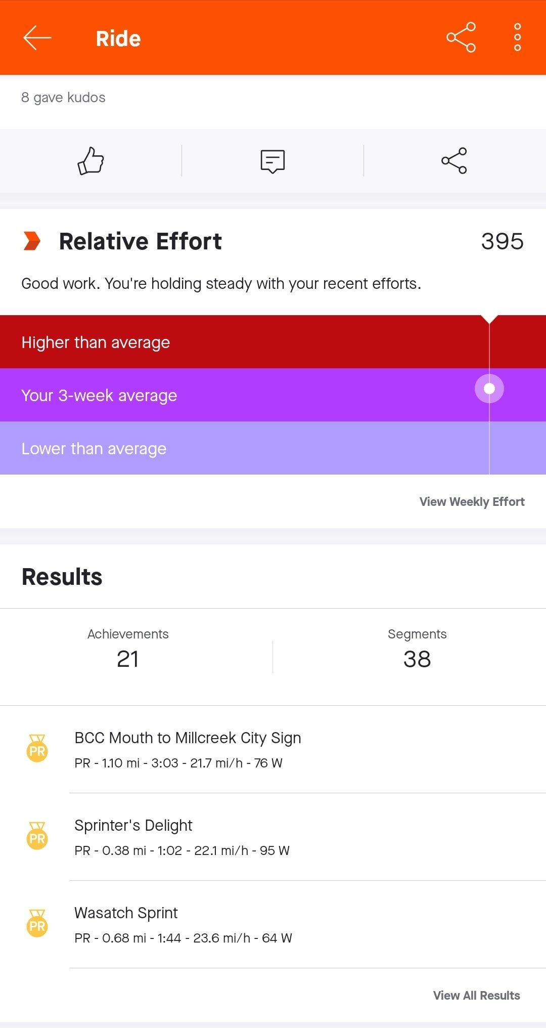
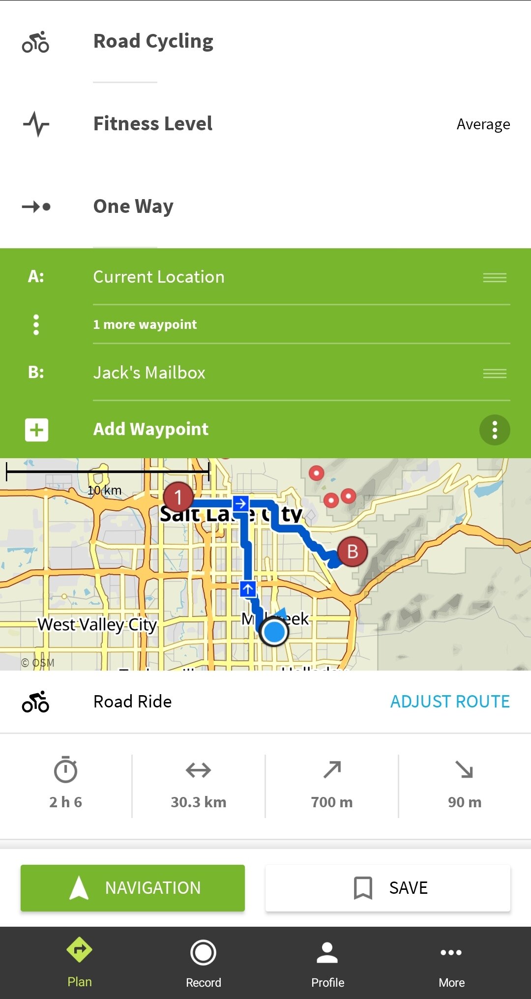
There are so many options for planning a route online these days. Apps like RideWithGPS, Strava, and Komoot make it easy to discover rides and track your activity in whatever way you like. There are many other apps and every cyclist has their own preference as to what app works best for them. It may be because one has better information on off-road terrain for mountain and gravel bikes, or it may because one can track their heart rate and power to tell them how many calories they burned and how they match up to other people riding the same roads, or it may be because they want their friends & family to be able to track their ride live. It’s up to you to find what works best for your needs. It will take time and you may even find that you like to use a combination of apps but they all have the basic ability of finding local routes. For now, I’ll highlight what apps have worked best for me on the road.
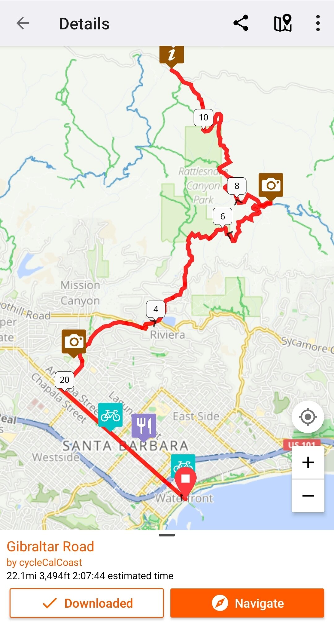
RideWithGPS is best for discovering routes that others have already made, downloading them for offline use, and being able to turn on navigation to follow the step-by-step directions and track your ride.
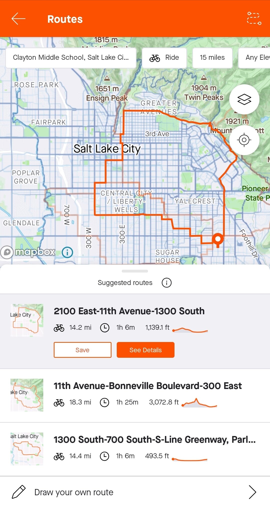
Strava is all about popularity. It's best for exploring suggested routes and “segments” of routes with statistics about all of the riders who have completed it before, investigating a global heatmap that reveals how popular the roads/paths are by bike, and tracking your activity along with the option for live location sharing. As of summer 2020, Strava has also made it ridiculously easy to draw up your own route right on your phone. This is currently my favorite tool in route planning.
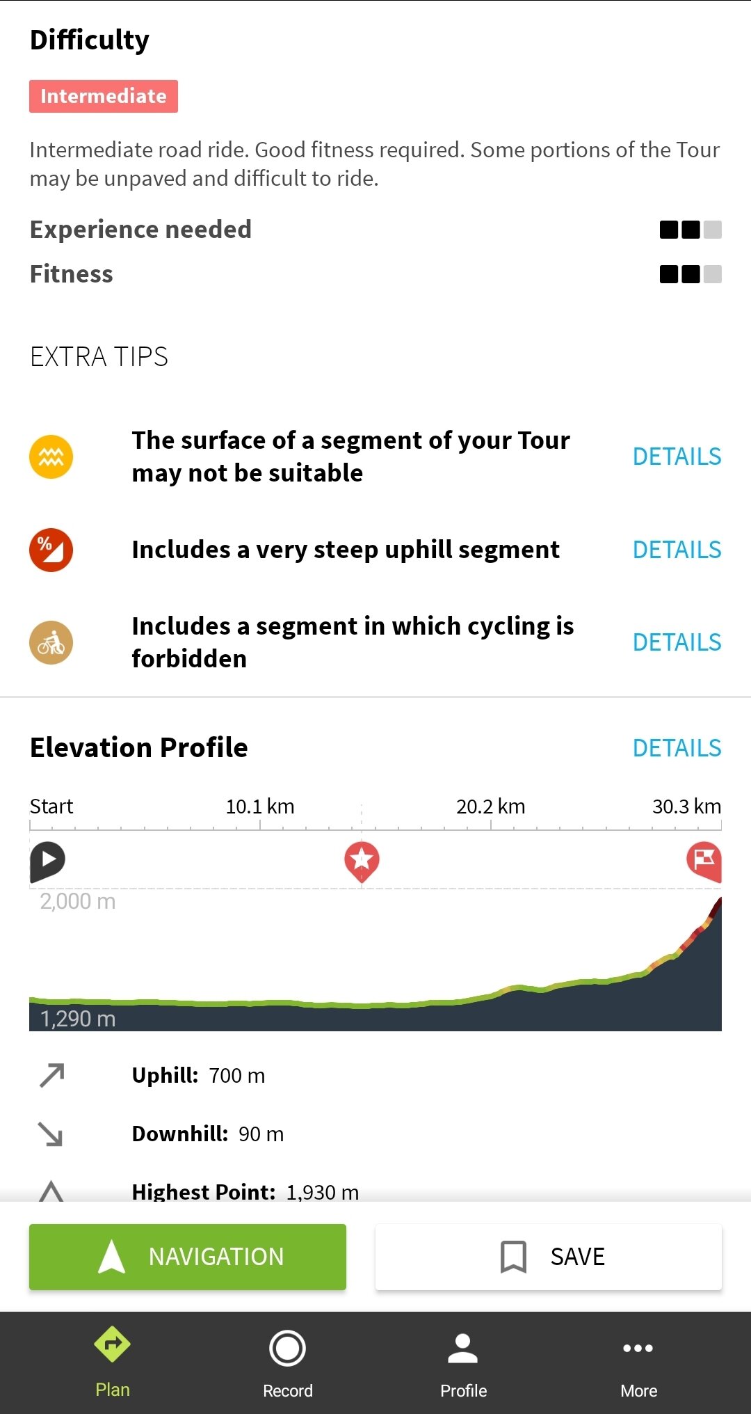
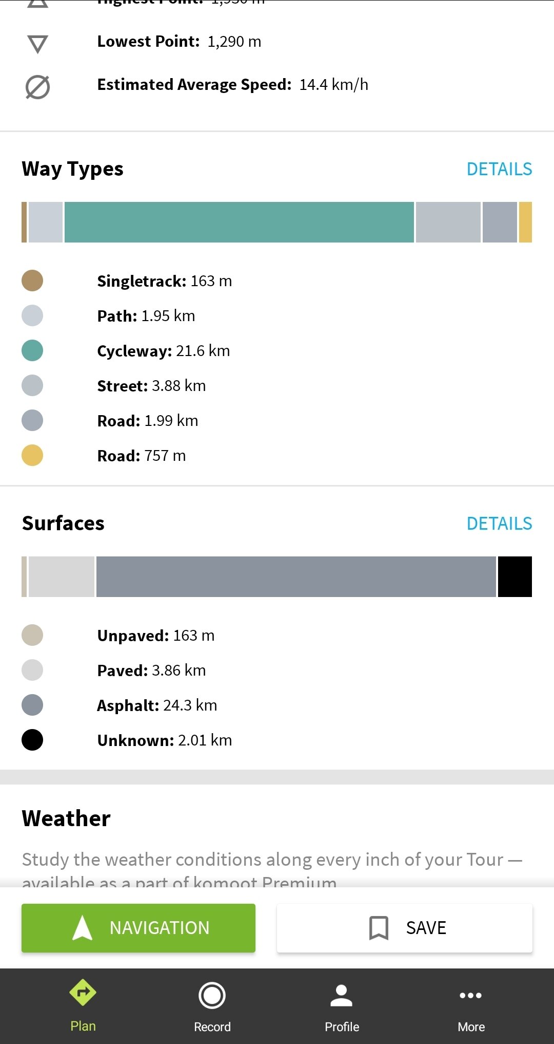
Komoot is best for navigating to destinations and routes based on your type of riding and fitness level. You can simply choose your starting point and destination, and the app will produce the route for you while also providing a ton of specific detail about how difficult it is and how much of the route is paved, asphalt, singletrack, etc.
All of these apps are free until you want to use more of the perks like weather forecasts, multi-day tour planners, and offline maps. I recommend trying out the free versions until you find one best suited for you that you want more out of, and then look into paying extra for the premium add-ons. If you are looking to protect your pockets, you can still plan a good route without all of these extra capabilities. The rest of the work can be done with a free map service like Google Maps.
Evaluation Time
Once you have a good handle on the route you want to take, you should evaluate the plausibility of it in terms of safety, current conditions, and staying within your physical limits. I recommend doing this even if you have found a complete route on one of the previously mentioned apps.
The All-Seeing Eye
Pull up the area on your favorite map app (I prefer Google Maps or Strava) and make sure to have the “Satellite” filter activated. This will allow you to see what the road looks like. Zoom in closely to the specific roads you would like to take and check for bike lanes, wide shoulders, paved/painted trails, and crossings.
Notice where I have highlighted the bike lanes in green on this Google Maps satellite image. This is ideal road for a safe & easy route but not always the case.
Keep in mind that the imagery could be outdated and the roads could look different now in some ways. There may be construction taking place as well so always check for road closures with the local Dept of Transportation--usually accessible online.
Ideally, the road will have a space for cyclists. If not, it should at least have the pavement marked with the cyclist symbol or signs enforcing that the road be shared with cyclists. Seeing these images and signs makes drivers aware of your potential presence and gives you the right to your space. That being said, you should always ride respectfully as another vehicle on the road.
Change For the Better
If you find that the roads you originally planned to take don’t meet your needs for space, access, and ease of navigation, then evaluate the neighboring roads. Is there another road just a block or two over that runs the same direction but offers more space? Are there some less-trafficked, residential neighborhoods that you can cut through to avoid passing vehicles? It may add more miles but it could be worth the feeling of safety and comfort to enjoy riding.
Besides road access and safety, the biggest factors will be how long you want to ride and how much you are willing to gain/lose in elevation. You can check these details on a given route on the apps mentioned or you can use Google Maps to navigate by bike and it will give you these details. Feel free to make adjustments to avoid hills or nerve-wracking descents. You can work your way up to that later. If you don’t know your physical limits yet, just make sure you are able to safely turn around and route yourself back earlier than planned. The trick is to remember that you usually have to ride back as far as you have come so don’t keep riding out if you feel wiped already. You need the energy to get yourself back to where you started.
Leaving Your Trace in the Right Place
So how long is your ride? Will you need to refill on water or “see someone about a horse”? Make sure there is some type of place to make a pit stop. It could be a public facility like a park, visitor’s center, city building, cafe, bike shop, etc., along the route where you can fill up and/or use a bathroom. MAKE SURE THEY WILL BE OPEN.
Depending on the time of day or even year, it’s possible that facilities will be closed. You can also get creative in more remote areas by using the green latrine, or facili-trees, and using a water filter to fill up at a river or waterfall (running water is best). Just keep in mind the principles of Leave No Trace.
Check the Weather!
Sun, rain, and wind are all major factors in how your ride will be affected. This is something that will become second nature after riding in the area frequently and you can get away with ignoring it but it will make your ride a whole lot less stressful if you can avoid any discomfort. For long stretches of road, I prefer not to have any head wind that would make it a grueling effort. For technical steep descents, I like to make sure that I won’t have any major crosswinds that will make it feel sketchy. Wet roads from the rain, hail, or snow aren’t impossible to ride on but you’ll want to be well prepared with tires & brakes in good condition, waterproof layers, and protection for your phone--especially if you're relying on it to navigate a new route. That’s a great reason to bring a map as well!
Ideally, it will be a calm and clear day but too much exposure to the sun on roads with lack of shade will call for proper sun protection. Protect your precious epidermis!
GTFO!
Now that you have exhausted your local resources, tested out some apps, passed judgment on the potential route, and prepared for the elements, you just have to grab your bike and get out there! Just keep in mind the 6 “P” Motto: prior planning prevents piss poor performance. You have done all that you can to prepare yourself mentally and physically. It just comes down to giving your route a try. If it doesn’t go as planned, you can always turn around, re-route, or try again another day. There is always beauty in the journey.
Feel free to contact us with any questions and let us know how your route turns out! Happy Riding!


